
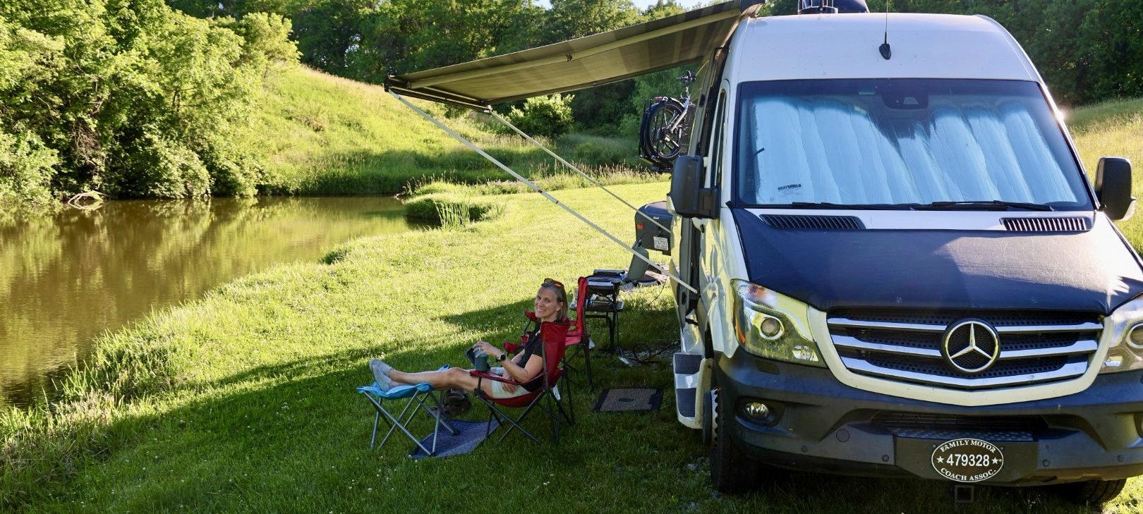

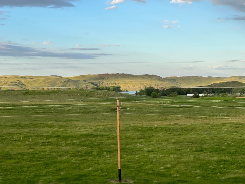
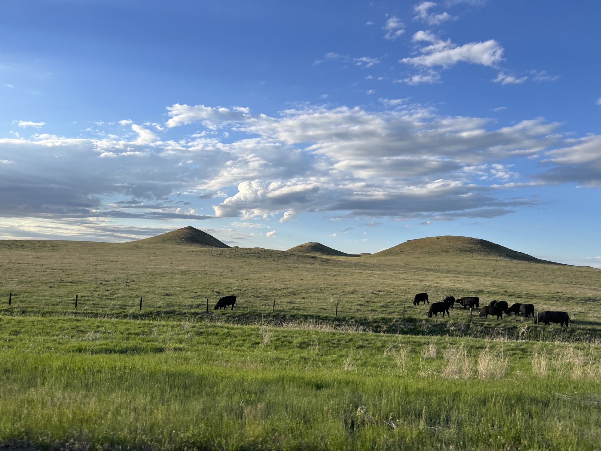
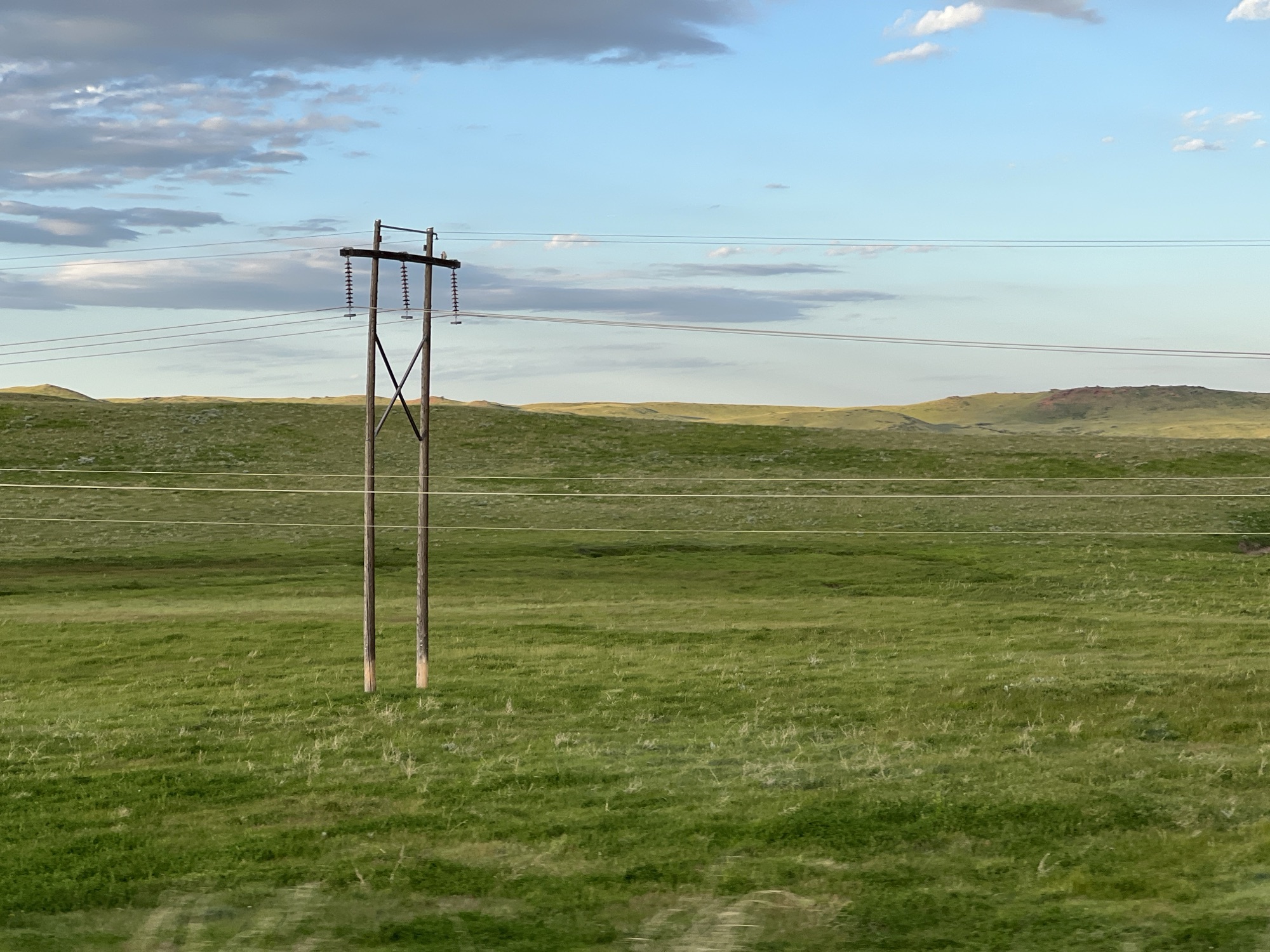
It’s been six days since we left North Carolina and travelled 2,099 miles across the Midwest. Today reminds me how much I love the landscape of South Dakota and Wyoming. Wide open skies and rolling green hills as far as you can see. Pictures just cannot convey the depth and breadth of what I see with my eyes.
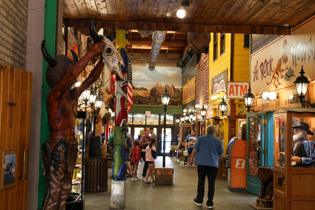
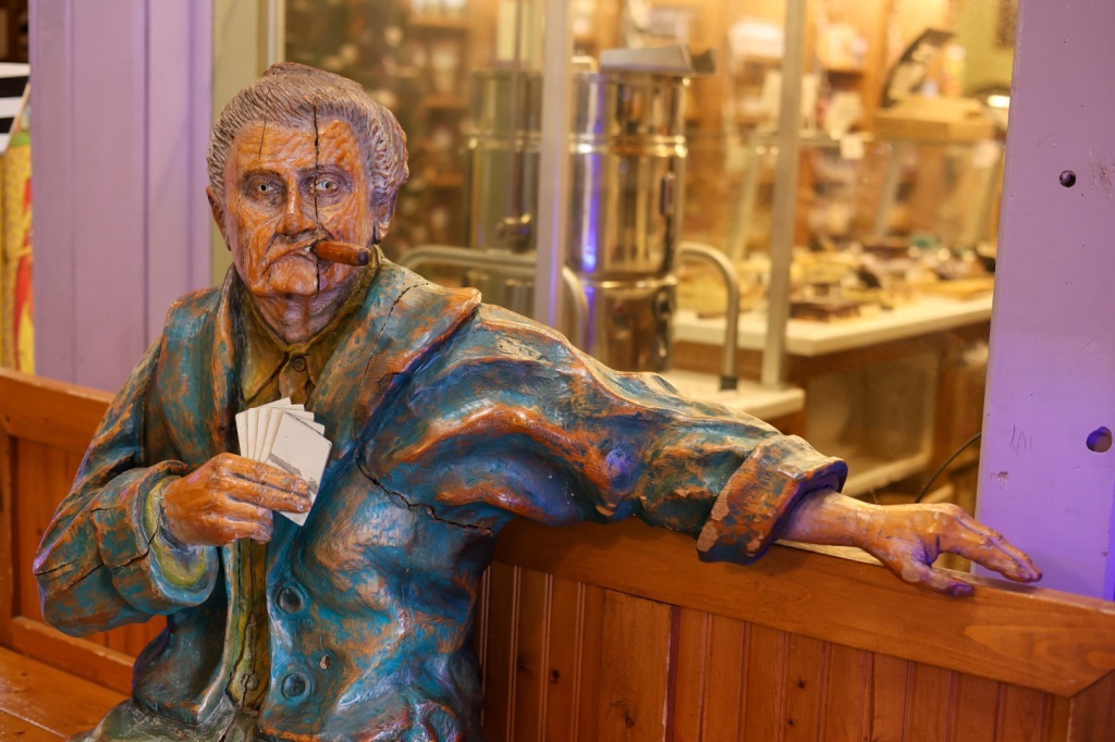
We’d seen billboards advertising Wall Drug Store for more than 256 miles traveling on I-90 W so naturally, we had to stop when we finally drove through Wall, SD just outside the Badlands. If you’ve ever been to South of the Border on I-95 in South Carolina you have a good idea what it’s like. Just imagine 76,000 sq feet of cowboy Wild West themed clothing, boots, artwork, activities, dining and souvenirs.
As tempting as I know all this sounds, we managed to leave without buying anything other than some donuts and a cinnamon roll.
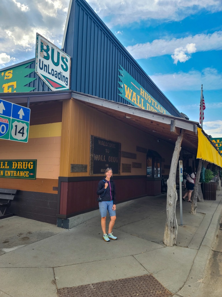
The backstory is kind of interesting. Dorothy and Ted Hustead bought the only drugstore in Wall, SD in 1931. Five years later the business hadn’t grown much. On a sweltering July day, Dorothy had the great idea to put signs out on the highway advertising FREE ICE WATER to passing motorists. The rest is history. The billboard advertising campaign continues almost 100 years later. The farthest sign is a 394-mile drive away, 300 signs in total. Well, I guess if you find something that works, stick with it!
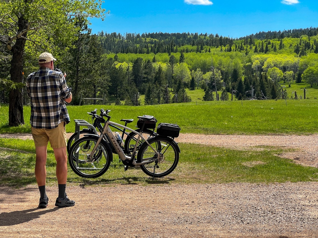
Looking at the day’s driving route to Sheridan, Wyoming, I realized another rails to trails bike trail I’ve heard about is just a short detour off the interstate. The George S. Mickelson Trail in the Black Hills of South Dakota is listed on the Rails to Trails Conservancy Hall of Fame. After riding a portion of it I can understand why. It’s gorgeous.
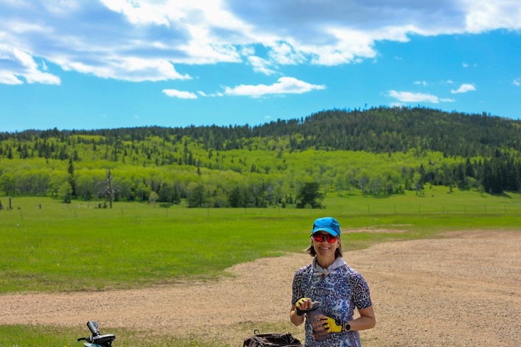
The 109-mile trail was once part of the Burlington Northern Railroad. The gravel trail runs through scenic, mountainous, Black Hills National Forest. We rode a 24-mile out and back from the Kirk Trailhead south of Lead, SD to the Dumont Trailhead north of Rochford.
The trail was partly shaded by the ponderosa pines, aspen, birch, oak and spruce trees that make up the forest. I’d love to see it in the fall when the aspens turn gold. A cool breeze helped temper the heat from the sunshine and the exertion from pedaling our bikes.
We stopped for a picnic lunch at a bench beside the trail near a marker pointing out a mine situated on top of the mountain in the distance. We’d noticed it on the drive in and wondered what kind of mine it was. The Homestake Mine in Lead, SD was a gold mine until it closed in 2002. According to Wikipedia, it was the largest and deepest (8,000 feet) gold mine in the Western Hemisphere, producing more than 43,900,000 oz of gold during its lifetime. That’s equivalent to 2,500 cubic feet of gold!
Since 2007, the Homestake Mine has been the location for the National Science Foundation’s Deep Underground Science and Engineering Laboratory (DUSEL). That’s not the first time the mine has been used for scientific purposes.
The Homestake Mine is famous in scientific circles because of the work of a deep underground laboratory that was established there in the mid-1960s. This was the site where the solar neutrino problem was first discovered, in what is known as the Homestake Experiment.
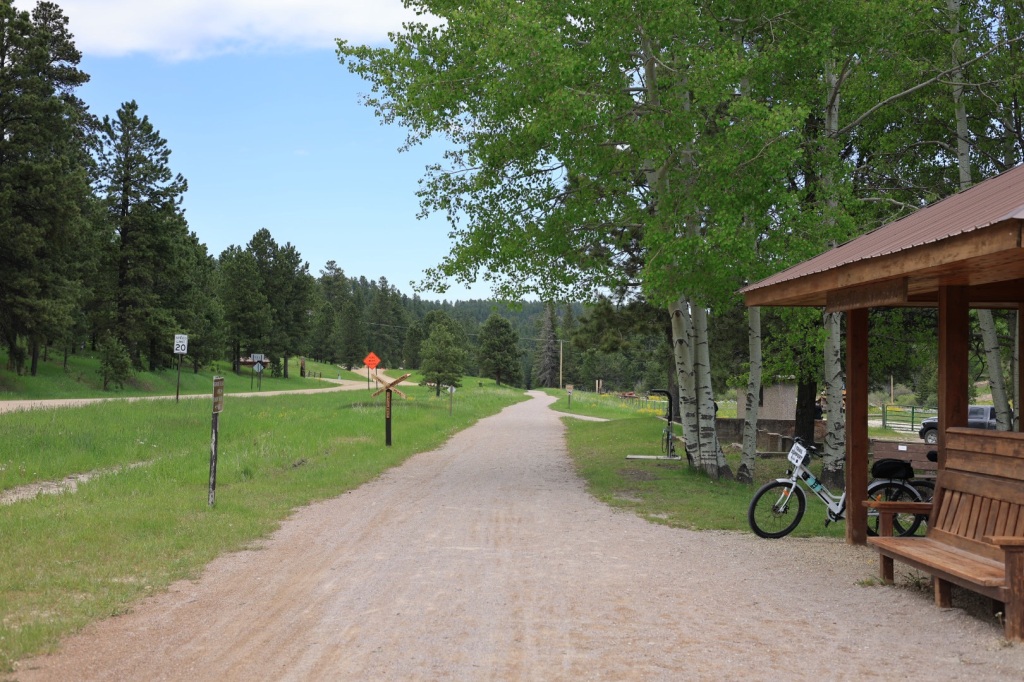
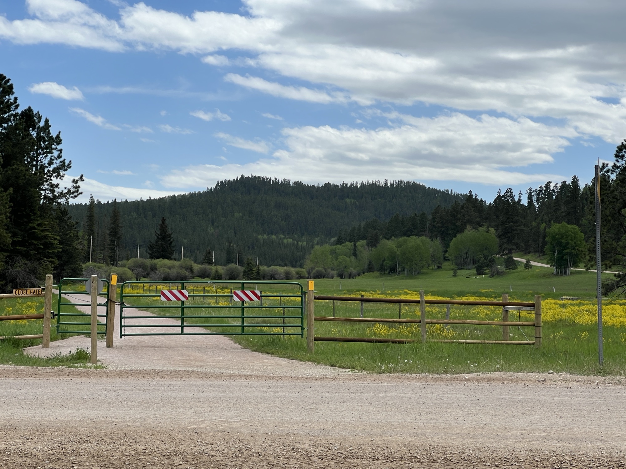
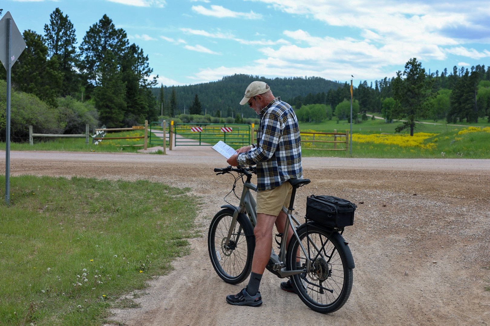
A Park Ranger checking park passes waved for us to stop as we passed through the Englewood Trailhead. We‘d seen the self-pay registration kiosk where we’d parked, only because we were looking for the trail map. The fee is $4.00 per person, cash only. Having exactly four dollar bills and a few $20’s, we folded up the dollar bills, sealed it in the envelope and figured that was close enough as we dropped it in the slot. Instead of carrying the customer copy of the single permit with us, we left it in Charlie. Uh,oh. Busted!
I told the ranger we’d thought the permit was supposed to be on the vehicle (leaving out the part that we’d only paid for one person). She looked at me like I was either lying or an idiot and explained that the permit clearly says “Keep it with you while on the trail, as pass must be offered for inspection when requested.” Pointing to a man sitting in a truck a few yards away, she said “I’ll let you go with a friendly reminder, but he’s the CO and wouldn’t be so forgiving.” We rode on, thankful we didn’t get pressed further.
I was feeling guilty as we rode the remaining miles to Dumont Trailhead and hoped there would be someone there who could break a $20 for us and we’d just pay for two new passes and everything would be squared away. But…. no luck. Also, who carries cash anymore anyway?
I looked online to see how much the fine for riding without a permit would be when I saw an option to buy permits online. Great! Following the link, I discovered the only Mickelson Trail permit available is an Annual Pass, not the $4 daily pass. I figured the $17 fee is probably less than the fine. The confirmation email says I can expect my annual pass to show up in the mailbox at home in 14 days. I guess we’ll have to return in the fall to see the leaves for sure now. Ha ha!
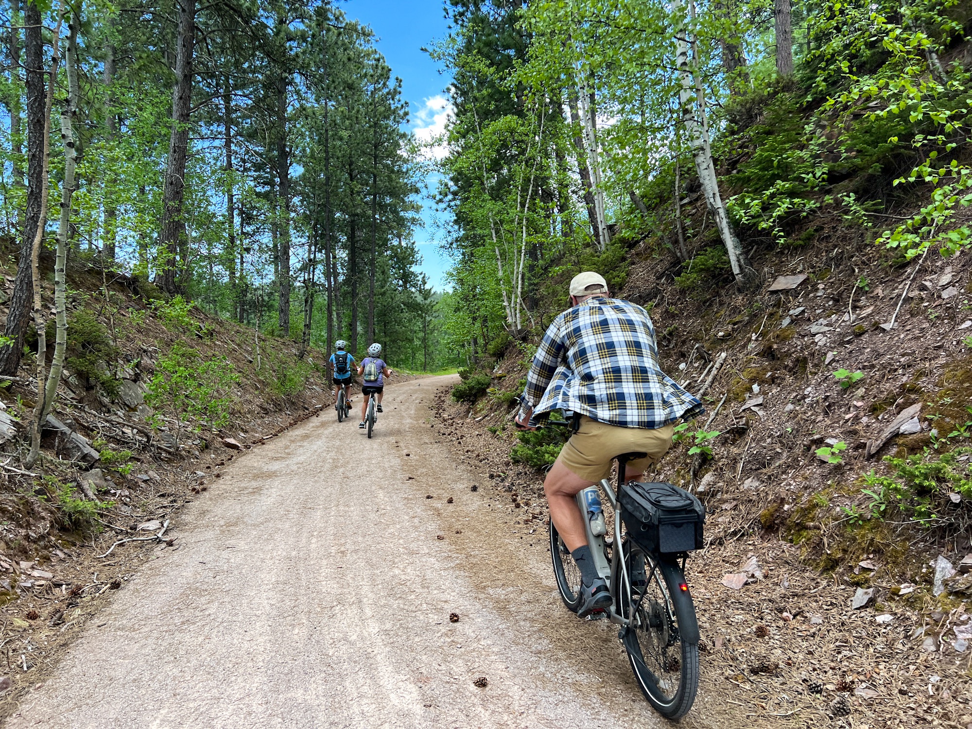
The first 12 miles was nearly all uphill. My Garmin said we’d gained 1,539 feet in elevation and I didn’t doubt it. My quads were aching by the time we reached the summit a mile or so from the Dumont Trailhead. I was envious of the smiling cyclists coasting downhill past us as we pedaled the inclines. The payoff for the long climb was a fast and fun ride back.
We coasted pretty much the entire way back, sometimes as fast as 21mph. A shorter, steeper alternate route veers off to the right between the Englewood and Kirk trailheads. An information sign warned of a steep 1/4 mile section with 17% grade. We opted for this route rather than repeating in the same section we’d ridden earlier.
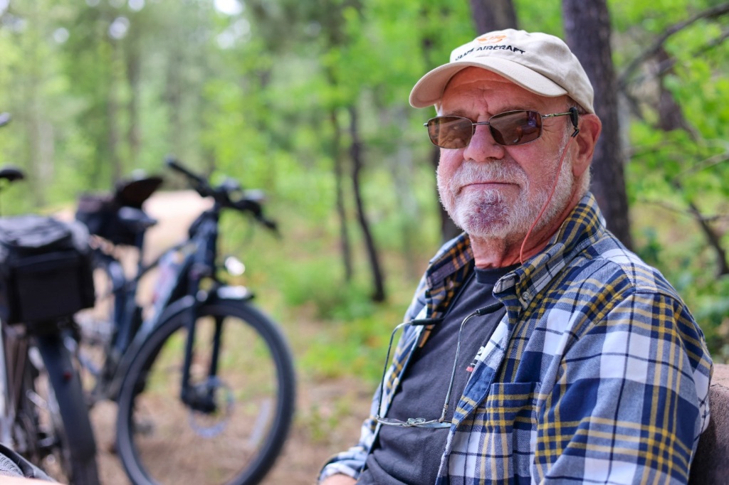
I sailed down the gravel path, standing on my pedals and gripping the handlebars. Riley zoomed ahead, as we sped down the hill. I heard my water bottle skitter across the road behind me as I rounded a sharp turn and knew immediately what had happened. I stopped at the bottom of the hill and ran back up to retrieve it and made sure it was secured tightly before hopping back on the trail. I knew Riley would be worried when he realized I wasn’t behind him anymore so I tried to catch up as quickly as I could.
Before long I saw him riding back up the hill with a worried and then relieved look when I told him only the water bottle took a tumble. Visions of Matt’s mountain biking accident a couple years ago danced in his head. Broken bones and gravel rash are not what we need on this trip!
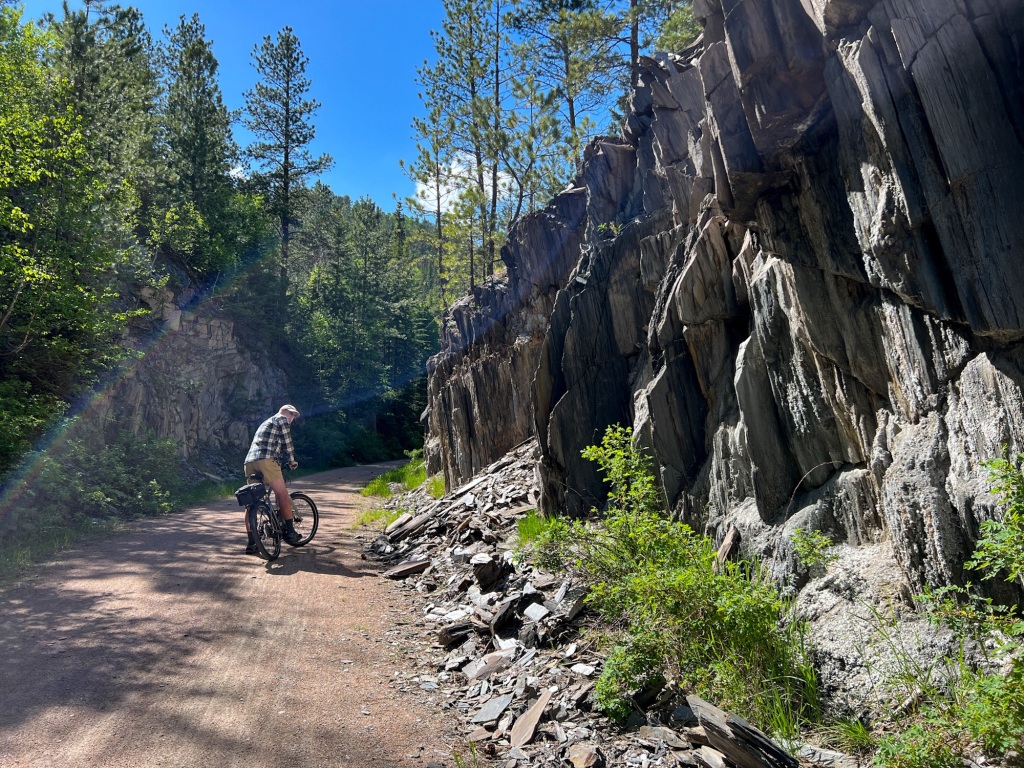
The Kirk spur had some of the most beautiful scenery. We rode across three new trestles over Whitewood Creek and through impressive rock formations. It was pure luck that we’d chosen to start out on the path we did. It would have been a real challenge to ride UP that steep hill.
It was late evening when we arrived at the KOA in Sheridan, WY. Riley grilled pork chops and buttered french bread while I prepared a side of limas and corn for dinner.
We sat at the picnic table eating dinner as the day turned to night, thinking how lucky we are.

Wow! True Black Hill outlaws. Instead of horses you have bikes. What a great adventure! Thanks for bringing us along 🙂.
LikeLike
Haha, yep we’re really getting into the Wild West vibe.
LikeLike
I’m glad the sheriff let you sidewinders go. That would a really far piece to go to bail you varmints out. 🤠
LikeLike
Glad to know we can count on you for bail money!
LikeLike