Whitehorse, Yukon

When we planned our itinerary, we figured we’d be ready to spend a couple nights in a hotel after a little more than two weeks camping so we made reservations for two nights at the Gold Rush Best Western in Whitehorse, YK.

It turns out we were right. It is the perfect time, but not just for the reasons we originally thought.

We stopped by the Teslin Tlingit Heritage Center on our way out of town this morning to learn more about the Teslin Tlingit people.
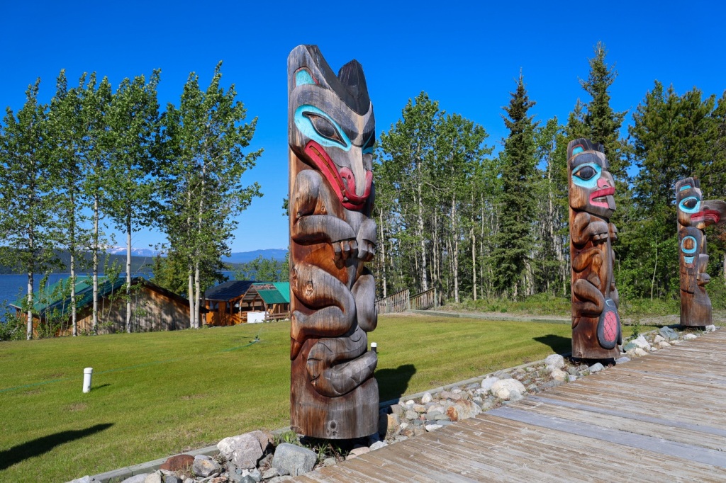
Teslin Tlingit are inland Tinglit who traveled from the southeast coast of Alaska to the interior plains of the Yukon more than 200 years ago. Until the construction of the Alaska Highway, they lived a nomadic subsistence lifestyle hunting, fishing and gathering. Hunting and gathering are still an important part of their culture.

When we arrived, a meeting of the Teslin Tlingit Council was in progress at the center. As a result, some of the exhibits and demonstrations were not available. It was actually kind of cool to be able to hear and observe the meeting as they discussed concerns and policies. Teslin Tlingit Council is a First Nations self-governing entity.

The carved wooden masks and decorative muckluks and vests sewn from animal skins and elaborate beads were amazing.

Riley is still feeling pretty fatigued so I insisted on driving the rest of the way. The weather is the warmest so far, low 80’s, so the drive was pleasant. The warmer the weather, the more bug splats though.

Marsh Lake is a picturesque spot to take a break. Like all of the lakes we’ve seen, the water is clear and blue.

I’m not sure what attracted all the butterflies to this particular spot but they didn’t seem to mind me being close.

Just outside Whitehorse

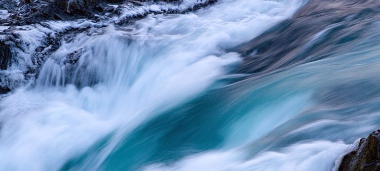
The scenic route leading into Whitehorse runs along the Yukon River. It is amazing how unnaturally green the water looks. So odd. It was really moving fast but it’s hard to see that in the picture.

Yukon River in Miles Canyon

There are several charter float planes parked on the lake just outside of town. I can understand why planes are a popular transportation choice in this part of the world. It’s the only way to get to much of the territory. We’ve seem many remote airstrips along the Alaska Highway.

Whitehorse is very different from the tiny villages we’ve been for the last several days. It’s the capital of the Yukon Territory and practically like New York City by comparison to the places we’ve been the last week or so.

The Best Western is on Main St right in the middle of everything so it will be easy to get around. There are lots of interesting stores and restaurants to check out.

We checked in to the hotel and did some laundry. Just that small chore wore Riley out. I called my friend who’s a physician for advice. She wisely counseled Riley on the importance of staying hydrated and getting checked out by a medical professional to make sure everything is okay before we leave Whitehorse and return to the literal wilderness.

Hearing it from someone besides me helped a lot. I called the Yukon Walk-In Clinic and was told they don’t accept patients from out of the country because there’s no way to charge for their services. They suggested going to the Emergency Room at Whitehorse General Hospital.

We stopped in a pharmacy just down the street from the hotel to get some electrolyte tablets and got a bite to eat for dinner before going to the hospital.

When we arrived, I was hopeful when I saw relatively few people there. It was a different picture in the ER of course. The triage nurse said they had four major trauma patients and with a short staff it would be several hours before he could be seen. She suggested we come back in the morning.

As we walked out, Riley said he was feeling better already. Hmmmm. He does look and sound a little better, probably because he finally ate some real food and is drinking more. I’m glad that’s true but I’m still going to insist we go back in the morning.

Anybody who knows Riley will know it’s serious when I tell you he walked right to the elevator without even looking for the stairs!

Yukon Territory (4,508 miles)

This morning we are both feeling some better but definitely not back to normal. It helped that the weather is warm enough for short sleeves for the first time in days. The planned drive is only a couple hours so we’ll have plenty of time to rest and recuperate.

Watson Lake is the gateway to the Yukon, the last Canadian providence we’ll travel through on our way to Alaska. It truly is a remote wilderness.

Both British Columbia and the Yukon are covered by hundreds and hundreds of miles of boreal forests, rivers and lakes. Small villages are 100 or more kilometers between, often consisting of just a gas station. If there are fewer than 10 permanent homes, electricity is not provided so residents have to use generators for power. Bigger towns usually have a grocery store, campground, a lodge of some kind and maybe a car wash and laundromat. Often these are combined in a single business.

The Alaska Highway is the only road between towns so a GPS isn’t necessary. It would be hard to get lost. Unless you have internet connection and download the map ahead of time, you couldn’t use it anyway. Cell service disappears a few miles outside of town.

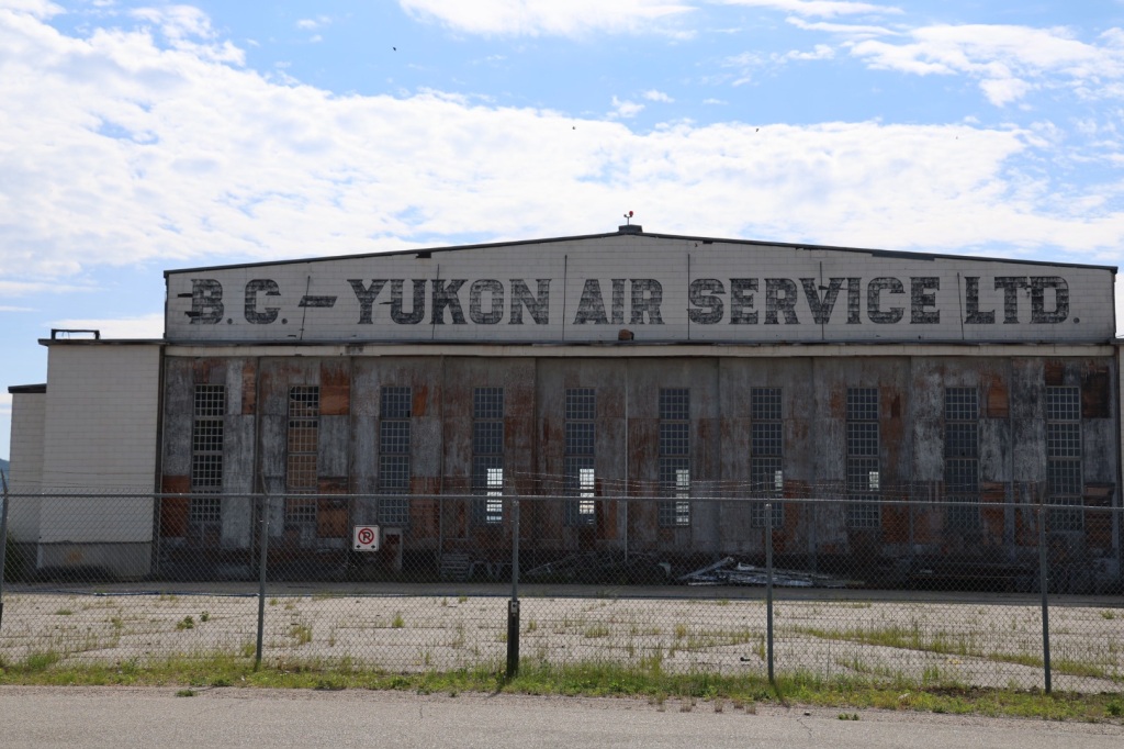
The highway was built during the Second World War to support air bases between the Yukon and Alaska. One of those is in Watson Lake so we stopped by to check it out before leaving town.

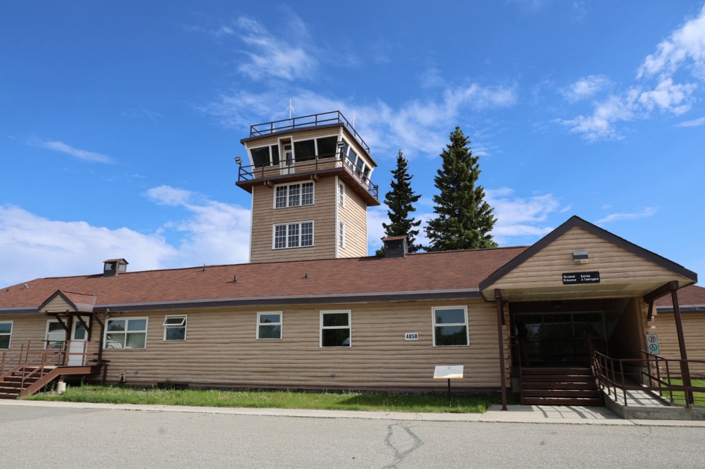
Watson Lake Airstrip is the last remaining air terminal from the Northwest Staging route still in use. Today, it’s used exclusively for private and charter flights. The main entrance was locked so we followed a sign that said to go around to the FBO. The base operator said we were welcome to look around the old terminal building and showed us the back entrance.

Old Watson Lake control tower

During the war, the Watson Lake airstrip was vital in Canadian-US efforts to defend Alaska and provide aircraft to Russia through a Lend-Lease program (which they never fully paid for). Thousands of planes stopped here for refueling and maintenance.

A collection of historical photographs are displayed in the old terminal building that describe what it was like during that time.

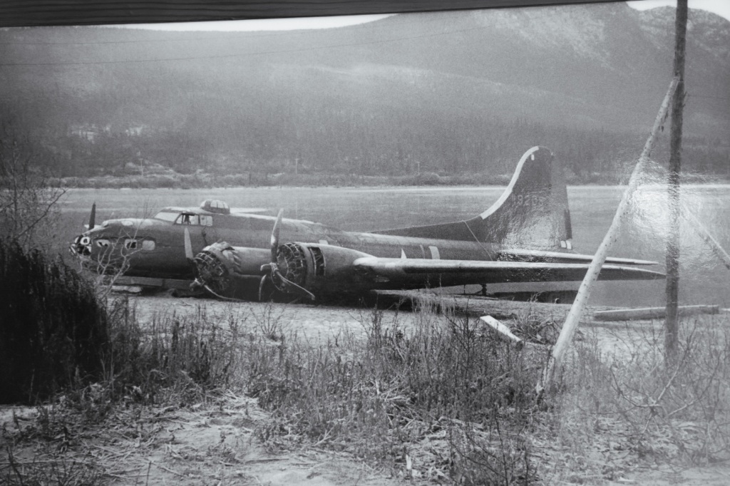
With the constant movement of so many aircraft around the clock, the lack of navigation aids, nasty weather and inexperienced pilots there were many accidents and crashes along the 3,500-mile ALSIB route.

There were communication problems because of a shortage of Russian-English interpreters, and freezing temperatures made routine chores extremely difficult. Mechanics learned that working for five-minutes without gloves would cost them some fingers.

A significant cause of death was pilot disorientation in freak weather conditions, which resulted in mid-air collisions and crashes. At least 140 Soviet airmen died on the ALSIB route between Fairbanks and Krasnoyarsk.

Hangar

Pilots had no heat in the cockpit, other than what a plane’s engines generated. Windshields froze over and instruments often became unreliable. In sub-zero temperatures motor oil turns to molasses, rubber becomes brittle and cracks, and rivets fall out of their holes. In a few short minutes a solid, well-made airpcraft could become a rattling and drafty collection of loose parts at 22,000 feet.

Crash landing on the lake

It wasn’t only men. Many of the pilots who ferried Lend-Lease aircraft along the Northwest Staging Route were women flying B-17s. Women Auxiliary Service Pilots (WASPs) were used to free men for combat roles during the war.

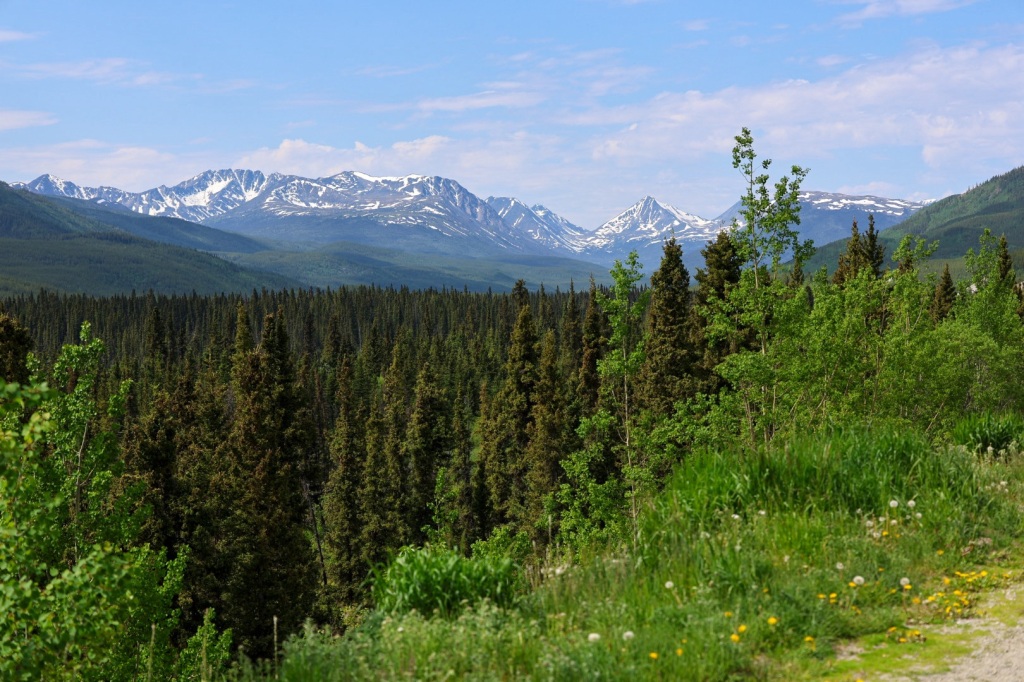
After leaving the airport, we started our drive north. The landscape was beautiful with snow capped mountains over miles and miles of forest.

We were surprised that the campground we’d just stayed at didn’t have bear-proof trash cans like we’d seen everywhere else. We guessed they must not have a problem with bears, then we saw this guy lumbering across the road not too far from town.

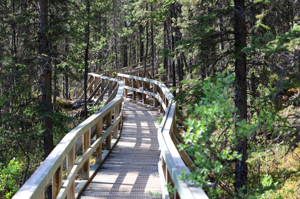
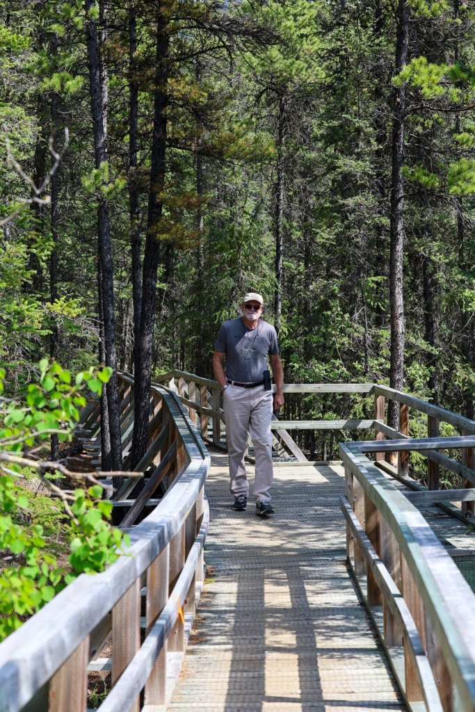
We stopped to stretch our legs at Rancheria Falls. It was just a short walk through the woods and along a raised boardwalk to an overlook of the falls. So pretty!

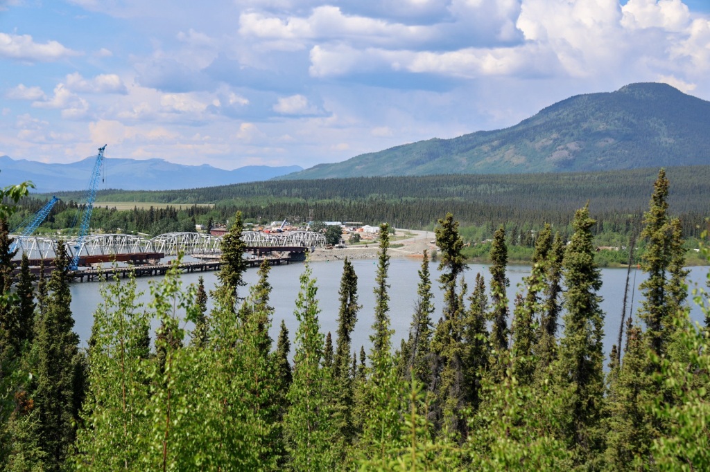
Tonight we’re staying at the Yukon Motel campground in the Village of Teslin. The campground is on Teslin Lake, just beyond the bridge you see in the photograph.

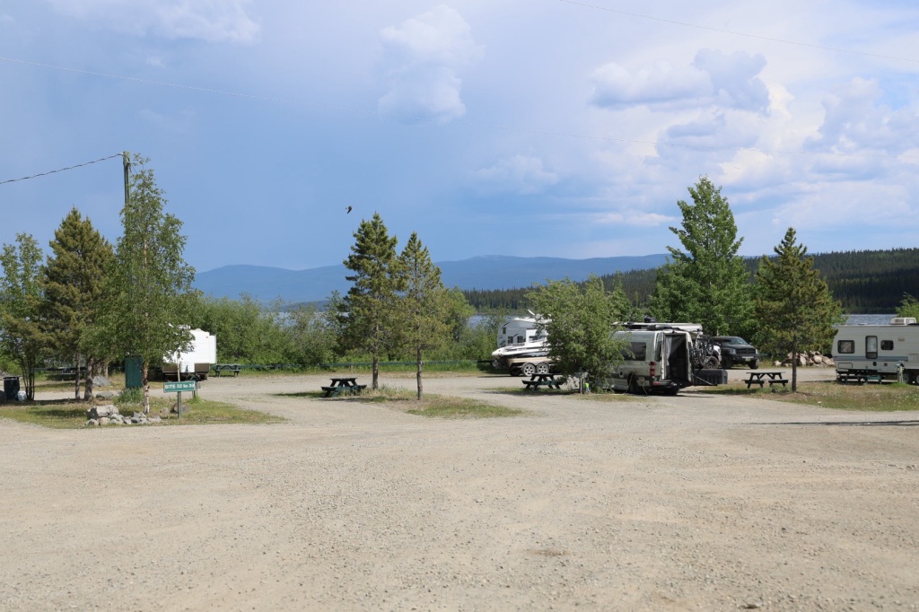
Not a lot of scenery at this campground

I was surprised by the number of cyclists we saw riding on the shoulder of the highway between Teslin and Watson Lake. I can’t imagine how painful it would be to be hit by a piece of gravel considering the damage it does to a windshield.

We’re planning to visit the Tlingit Heritage Center tomorrow before we drive up to Whitehorse. For now, we’ll rest and relax in hopes of getting back to normal.

Muncho Lake and Watson Lake (4,318 miles)

I don’t feel much like writing today so this will be shorter than usual. I knew I was getting Riley’s cold when I woke up yesterday morning and we’ve both been pretty miserable since.

Even though neither of us felt like driving, we left Tetsa River and drove a couple hours to Muncho Lake where we’d planned to spend the night. The weather was cold and rainy when we left but as typical for here the sun soon came out making it a beautiful day.

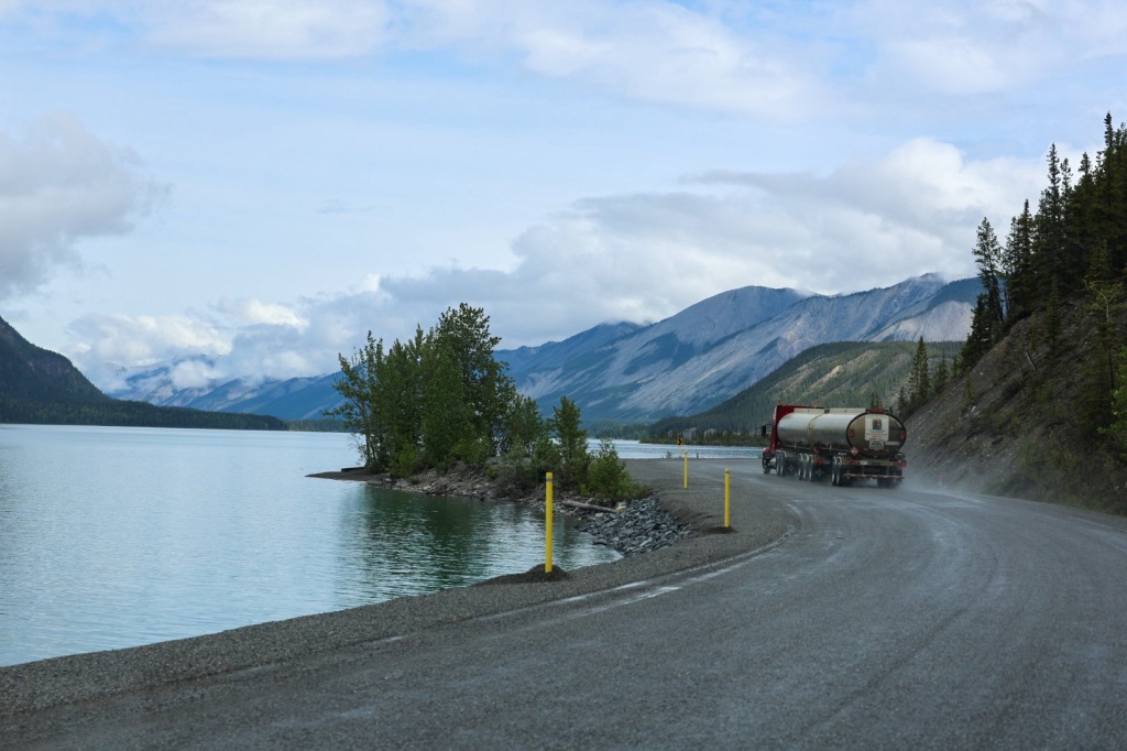
Muncho Lake is a beautiful spot and the highway runs right along the shore.

We didn’t have reservations anywhere so when I saw the advertisement for Northern Rockies Lodge I knew that’s where we should stop. I hoped we would be able to get a room in the lodge but none were available. It was still early when we got there so I asked the receptionist to let us know if they have a cancellation.

The campground was also full, but there were two spots reserved for the pilots of the float planes docked on the lake. After a phone call to make sure it was ok, we took one of them right beside the lake.

The spot was beautiful but we were both feverish and exhausted. We pulled out the bed and slept until the afternoon. Soon after, the receptionist knocked on the door and said they have a cabin available if we wanted it. YES we do!

The cabin has 3 beds and a bathroom which is exactly what we needed. We slept the rest of the day and night and woke up feeling pretty much the same.

We’d planned to go to Liard Hot Springs Provincial Park where we have reservations for the night but hot springs and fevers don’t really go together so we soldiered on to Watson Lake. On the way we saw a herd of buffalo and some mountain goats. Oh, and we got another rock to the windshield by a passing truck. I think we’ll be experts at windshield repairs when this trip is over.

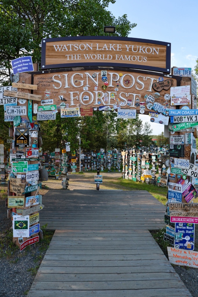
Riley was feeling some better by the afternoon, thank goodness. We’re staying at Downtown RV Park, just a block from the famous Watson Lake Sign Post Forest.

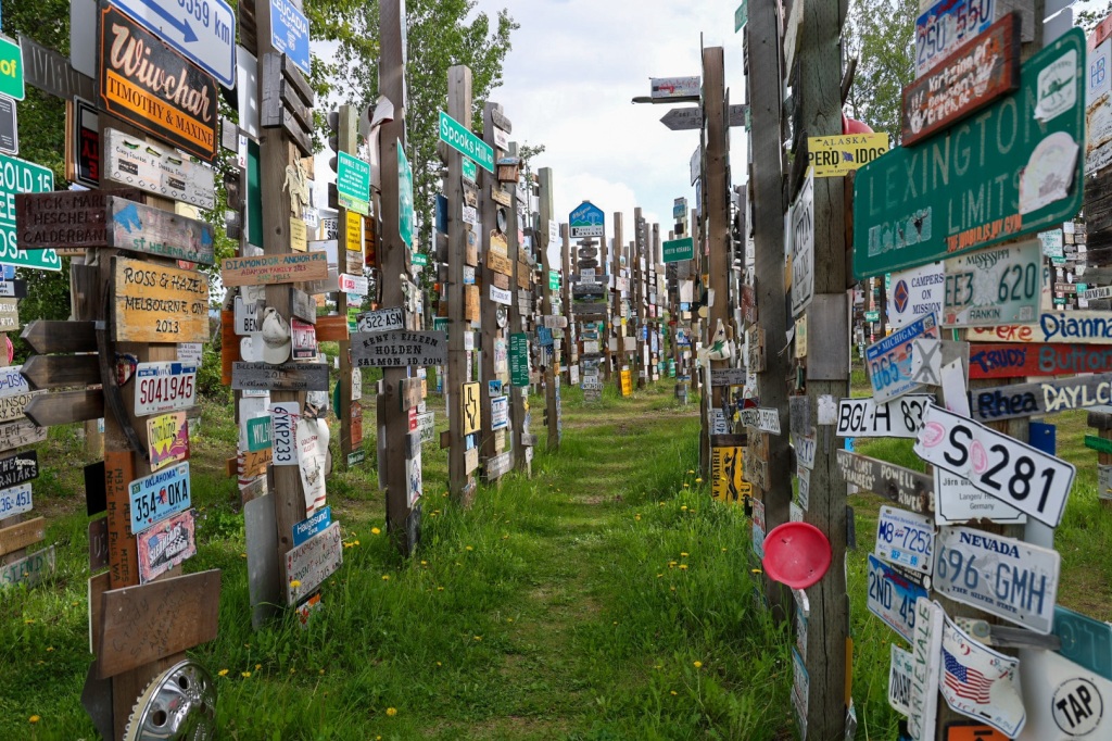
The tradition of hanging a sign in this particular spot began in 1942 when a homesick soldier working on the construction of the Alaska Highway hung a sign with the name of his hometown. Today, there are over 100,000 signs affixed to every available post, tree and hard surface.

We walked over to The Northern Lights center across the street to watch an interesting movie in a big planetarium theater. Now, I think we’ll watch a little television and go to bed (again).

The Alaska Highway (4,066 miles)

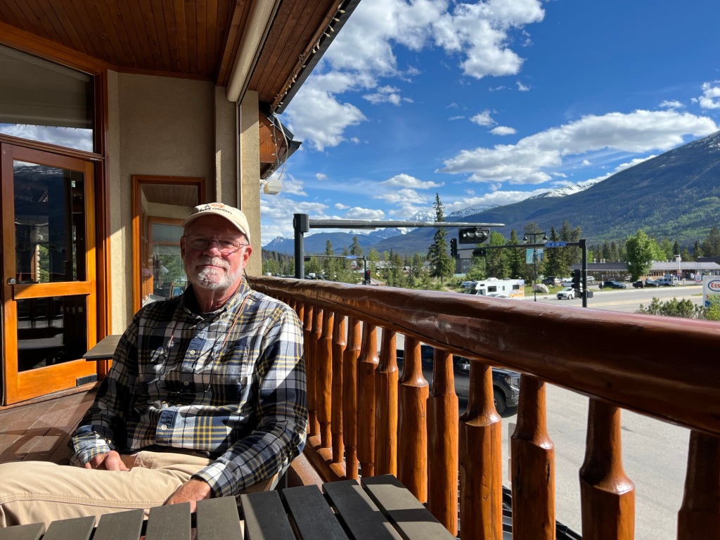
On our last morning in Jasper we had breakfast at a restaurant downtown and had the most delicious avocado toast and eggs I think I’ve ever had.

Back on the road again

As we traveled north, we left the Rockies behind and the landscape flattened out to green pastures and farmland.

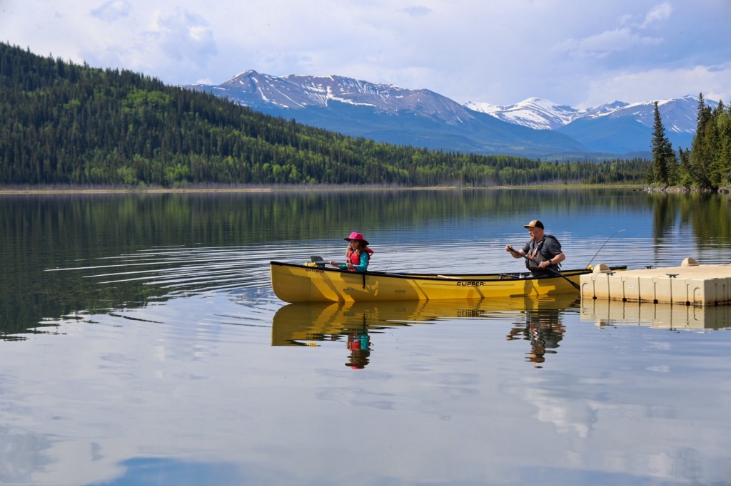
The weather was nice and mostly sunny for the morning drive. Looking to make a mid morning pit stop, we stumbled upon one of the most picturesque spots around.

Grand Cache Lake is crystal clear and the backdrop of evergreens and snow capped mountains was stunning. I was admiring the view just as a man and his daughter were launching their canoe for a morning paddle. They had this gorgeous place all to themselves.

Riley woke up that morning feeling like he might be coming down with a something and by midday he was certain of it. We were prepared for headaches and general aches and pains but didn’t have any cold medicine. A quick stop at a pharmacy in Grand Prairie took care of that.

Traffic was pretty light so we made good time. The mostly two lane highway passed through several small towns and communities but Beaverlodge was one of the most memorable.

From there we continued west to Dawson Creek, BC where we had reservations at the Northern Lights RV Campground hosted by two very friendly but very loud, talkative ladies. We were both relieved to get out of the small office where the two of them were having simultaneous conversations with guests checking in.

The campground is basically a large gravel parking lot with just-big-enough-spaces for an RV. There were water and electricity hook ups and room for a picnic table but little else.

Rather than using the laundry at the campsite, we drove a short distance to town. We popped into a laundromat, started a couple loads of laundry and walked up the street for an early dinner at Post and Row Taphouse. Charlie was looking pretty dirty so we stopped by a car wash before going back to camp.

The weather has been partly cloudy with temps in the upper 50s to low 60s most of the day. By evening it began to rain and a cold wind kept us inside. Riley was feeling pretty tired and a bit feverish so he took some NyQuil and napped while I caught up on the latest season of Bridgerton on Netflix.

In the morning, Riley was still feeling pretty crappy. I drove so he could rest and hopefully start to feel better.

The Alaska Highway begins in Dawson Creek, BC and stretches 1,382 miles across the Yukon and all the way to Delta Junction, Alaska. We’ll drive on this road the rest of the way to Alaska.

Before we left on this trip, we bought several publications recommended by others who have made the trip before. Everyone agrees The Milepost is the one book you must have. It’s 656 pages chronicle every detail of the Alaska Highway with mile-by-mile descriptions of all major highways and roads in Alaska and Western Canada; detailed information on all cities, communities, national parks, attractions, grocery stores, fuel stops, campgrounds, restaurants, services, road conditions, etc.

Of course, we also have our trusty Rand McNally Road Atlas and fold-out paper maps of Alaska and the Yukon. We’ve already seen the you can’t rely on internet or cellular service so it’s best to have paper maps.

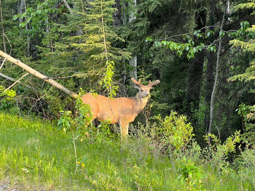
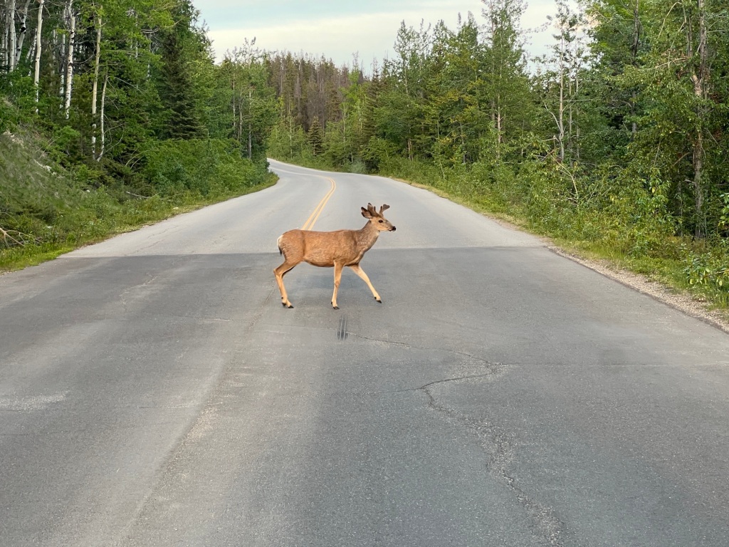
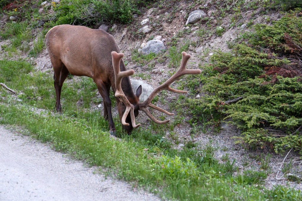
As we travel north, we’re seeing snow-capped mountains in the distance again and also seeing more and more wildlife. So far we’ve counted seven black bears, one fox, two mule deer, lots of elk, one having huge antlers, and six buffalo. All while driving down the highway.

Today, I noticed a yellow warning sign along the highway with a picture of a buffalo so I made sure to watch the road carefully. Sure enough, just a few miles down the road these guys were standing in and beside the road! I pulled over so Riley could take some photos from a distance. Fortunately they didn’t seem to mind.

Earlier on the drive, I’d been following a tanker truck for several miles. Another truck and an RV whose driver obviously wasn’t using cruise control was in front of it.The RV kept speeding up and then slowing down at every hill and curve in the road, making it hard to keep a consistent distance behind the tanker. During one of those slow downs, a rock flew up from the tanker and dinged the windshield leaving a small bulls eye crack. Perfect.

I cussed under my breath until all three miraculously stopped for gas at the same time. I breathed a sigh of relief, resumed cruise control and enjoyed the view.

We had one more oh, crap! moment today when we thought we might run out of gas. We’d passed a gas station with a little under a half tank and thought about stopping but we felt certain that we’d pass another station before we really needed fuel. When we were down to a quarter tank, I checked the estimated range and it said we could go another 111 miles. Riley looked at the map in The Milepost and the next one he saw was 132 miles away. Uh oh!

We stopped to reassess the situation and decide if we should turn around. Riley looked closer and realized that all the gas stations aren’t indicated on the map. The mile-by-mile description said fuel is available at the Tetsa River Lodge, about 12 miles ahead. Thank goodness! From now on we’re going to fill up when it’s a half empty.

This is the first night we don’t already have reservations at a campground so we need to find a place to stay the night. As luck would have it, Tetsa River Loge also has an RV park with space available for the night. Riley is still feeling pretty bad so we decided this would be a good place to stop for the night.

Our campsite is nice other than a little muddy. The tree cover blocked the StarLink from tracking satellites so we did without internet or cell service the rest of the day.

Fancy shower house haha

We’d anticipated windshield damage and got a repair kit from Amazon before we left on the trip. We dug the repair kit out and read the instructions. The epoxy or whatever it is that fills the crack in the glass needs ultraviolet light to cure and the only ultraviolet light available is the sun. Unfortunately it’s behind a thick layer of clouds. It looks like the repair won’t be complete until the sun shines again.

I’m a little concerned about Riley. The medicine is helping with symptoms but he’s not getting any better. I hope a good nights sleep will help and that feels much better in the morning.

The camp host serves fresh baked, “world famous” cinnamon buns for breakfast every morning. Maybe that and a big glass of cold milk will do the trick. Otherwise, we might need to consider driving on through to the next larger town.

R&R in Jasper, AB

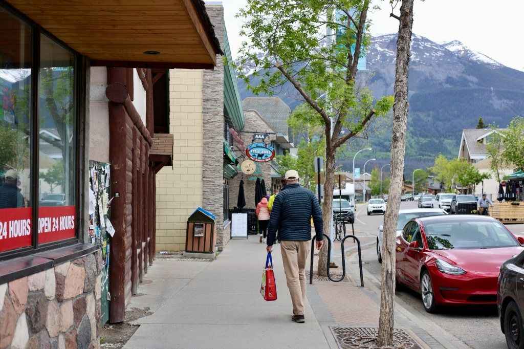
Jasper has become one of my favorite places. It’s beautiful, has great restaurants, shopping, convenient bike paths, hiking trails and camping. It has all the amenities of a tourist town without feeling like one. I’m sure it’s bustling in summer but right now it’s perfect. We are both ready to spend a couple days in one place after traveling for the last 10 days and this is the perfect place to do it.

I also have an affinity for Canadian culture. There a general feeling of peace rather than division, diversity is embraced rather than discouraged and people seem more respectful of each other. I also appreciate the environmental mindset. There are as many recycling receptacles as waste cans. So many reasons to love it.

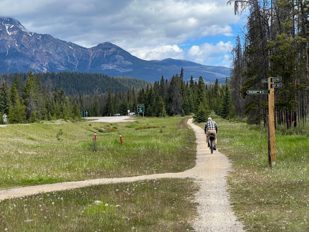
Bike path to town

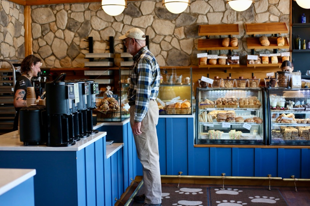
After breakfast, Riley and I rode about 3 miles on the bike path that connects the campground with downtown Jasper. It’s so convenient to have a dedicated trail instead of sharing the road with other traffic. We spent the morning shopping and walking around town. There are several nice outdoor clothing stores, some upscale specialty shops and the expected t-shirt and souvenir stores. Shopping wouldn’t be complete without a stop at Bear Claw Bakery for a sticky bun and (of course) a big glass of cold milk.

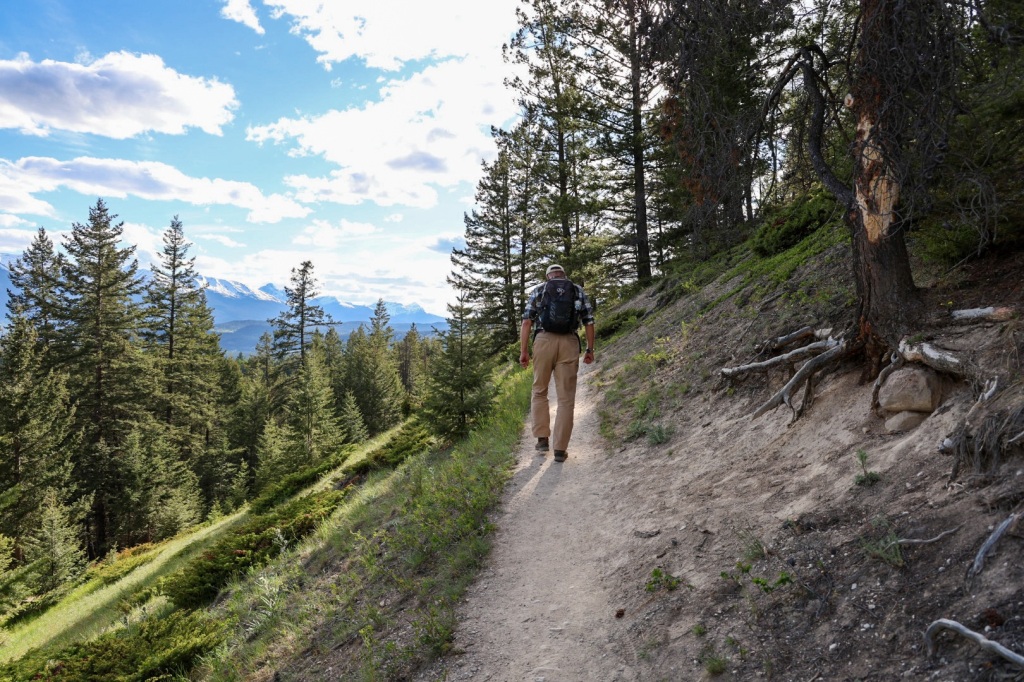
Later, we went back to camp to relax and plan how to spend the rest of the day. There are lots of hiking options in the Maligne Valley just a short drive away. Riley looked up details on the AllTrails app and we decided on the Maligne Canyon loop to Sixth Bridge, a 5-mile hike along a deep gorge with several footbridges that cross the river.

We opted to wait until evening to avoid the crowds. Parking is limited and Charlie takes up a lot of space so we didn’t want to risk driving all the way out there and have nowhere to park. This time of year days are really long so daylight won’t be a problem. The sun won’t set today until around 10:15 PM.

After a nice dinner in town, we drove to the trailhead. Other hikers recommended hiking in a counterclockwise direction to save the best for last. That sounded like good advice, so we set out around 6:45 PM for the 2 hour hike.

The trail was hard packed and dusty but you could see that it’s really mucky when it’s wet. There were lots of foot-sized depressions in several long stretches where people have slogged through the mud. I’m glad the sun’s been shining all day and everything is very dry.

The trail wound through the woods and gradually descended to follow the river. The last bit was pretty steep with loose gravel and a thick layer of loose, powdery, dirt. I was glad we wouldn’t return on the same path.

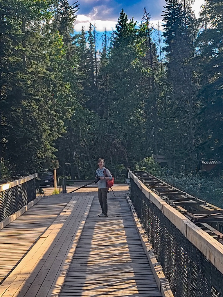
Sixth bridge, the first we encountered, spans a wide section of the river. The aqua colored water is so clear you can see the rocks and sand on the bottom even in the deepest water.

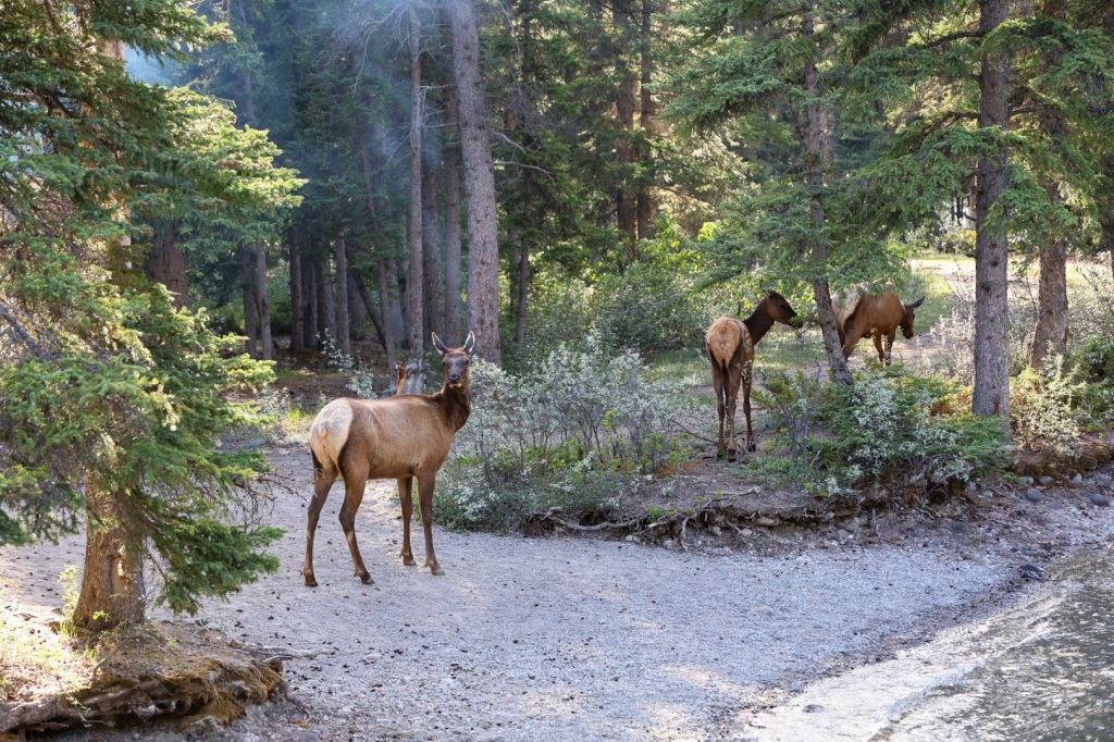
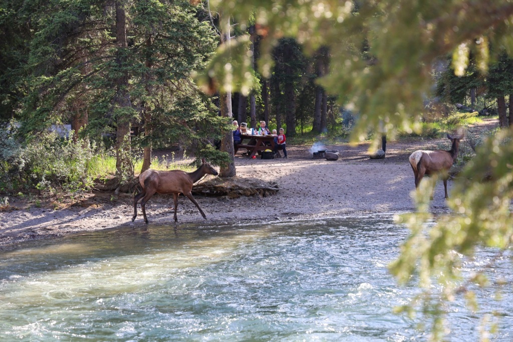
A large elk was standing on the far end of the bridge and two more standing on the opposite river bank not far from a family sitting down for dinner at a picnic table nearby.

We watched and waited until they wandered into the woods down river. They were the only wildlife we’d seen so far, but we’d been keeping an eye out expecting it, especially this time of evening. Riley was carrying bear spray just in case.

The view from Fifth bridge didn’t quite live up to the hype we’d read about and I began to doubt this hike was such a great choice. While nice, it didn’t seem particularly impressive.

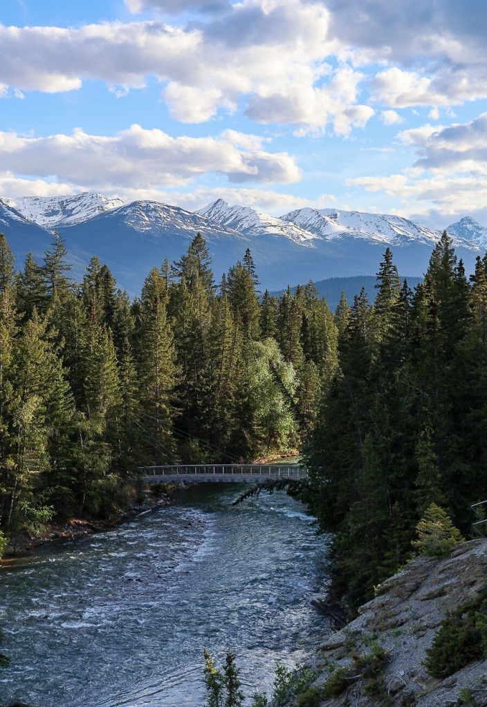
It wasn’t until a bit further up the trail that I looked back and realized the view of Fifth bridge is what they were talking about. The river flowing under the bridge with snow capped mountains in the background was just beautiful. Photographs don’t do it justice.

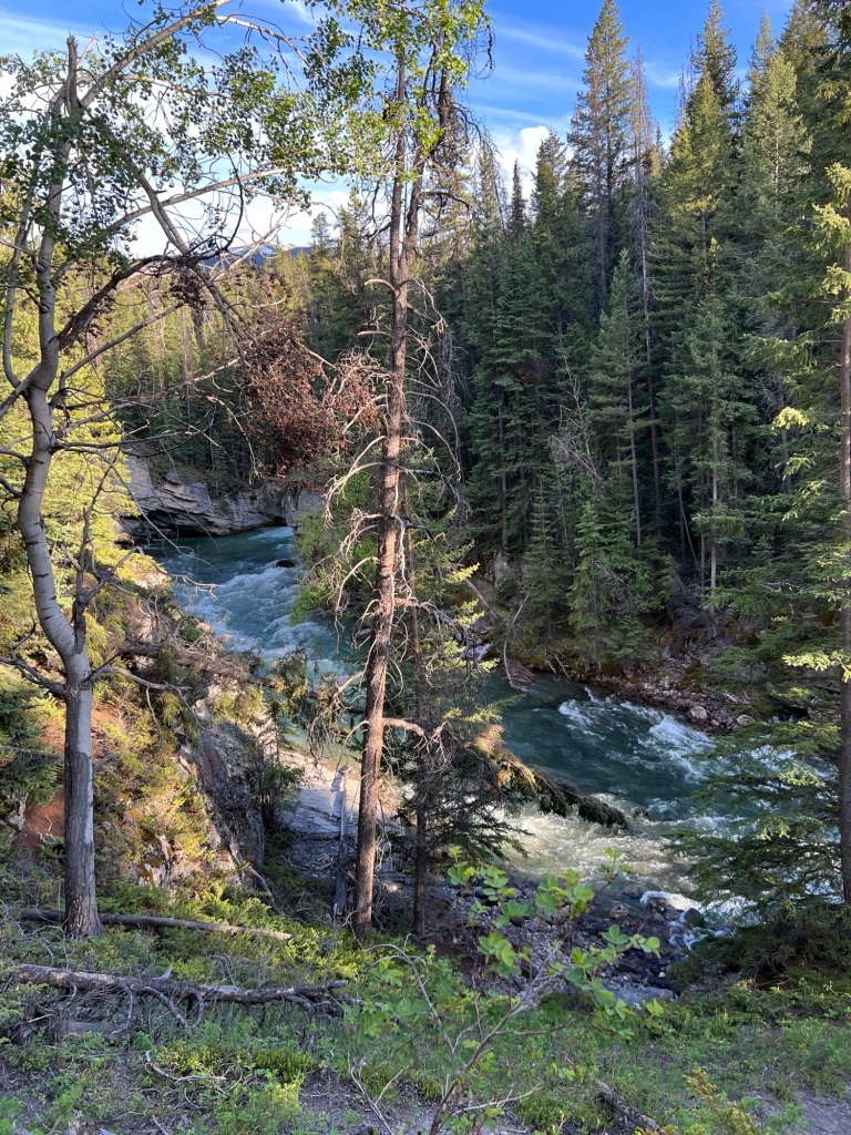
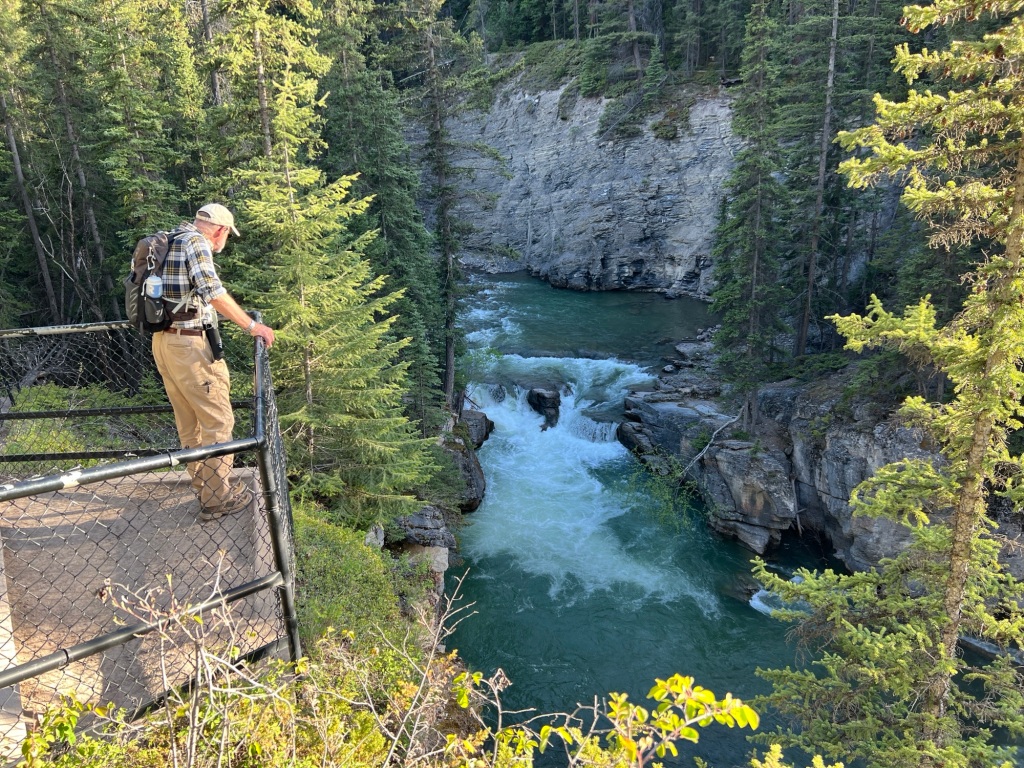
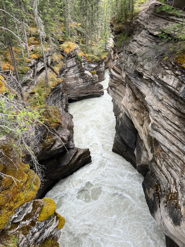
The views became increasingly more dramatic the further up the canyon we climbed. Water from Maligne Lake and Medicine Lake feed the river rushing through the narrow canyon. As the canyon narrowed, the volume of water per second increased. You could almost feel the roar of the water, especially standing on the bridges and overlooks.

The winding, twisty canyon walls are more than 50’ high. Rounded, carved out sections in the walls are created by rocks and sand carried by the rushing water. These potholes are aptly named.

We saw boulders suspended high up between the canyon walls. Erosion will eventually cause the chock rocks to crash into the river below. Dead trees that have fallen into the river collect in narrow spots creating choke points but the water still finds a way.

Evening was definitely the right choice for this hike. We encountered just three groups of people on the entire trail. A father and his young son walked the last bit with us. It was heartwarming to observe them as we examined fossil remains in a stone alongside the river. The boy was excited when he realized he was seeing the remains of a gastropod from 366 million years ago.

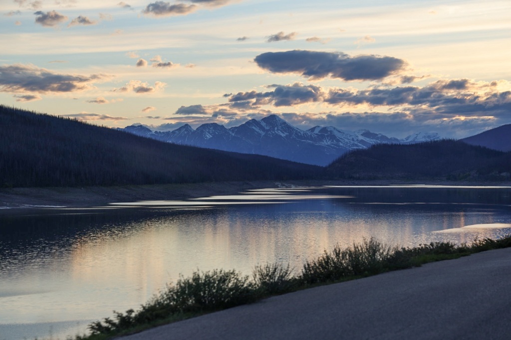
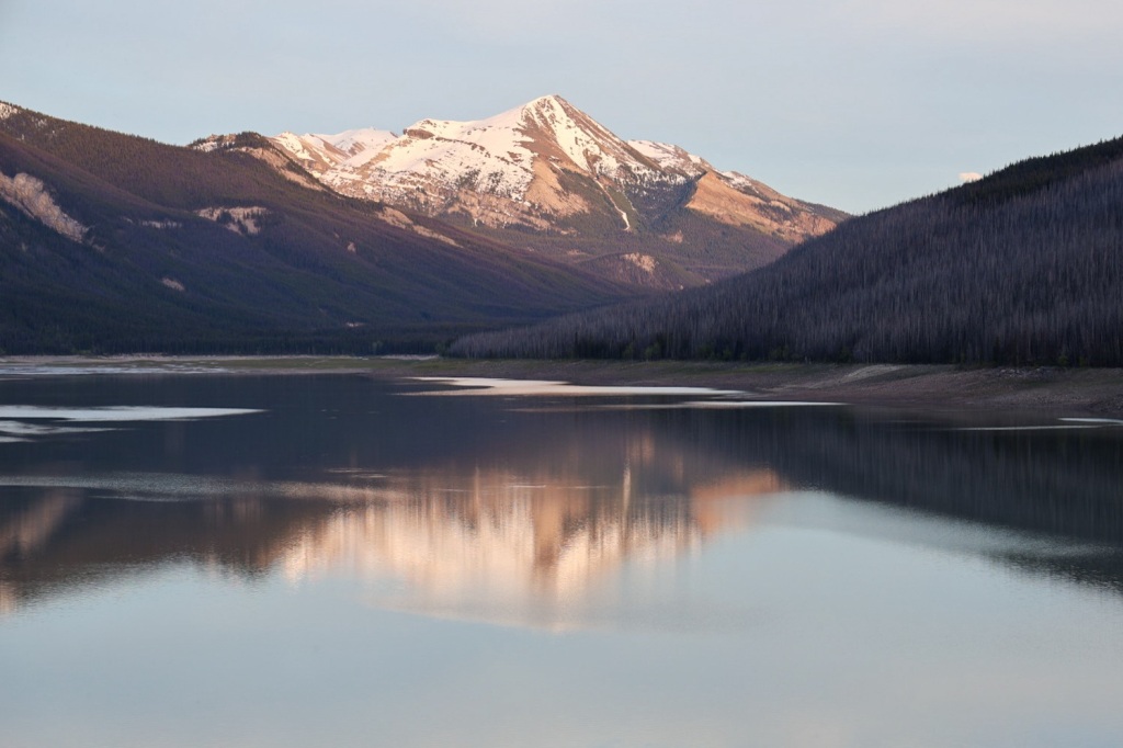
With an hour of daylight left, we thought we might have time to drive to Maligne Lake in time for sunset. The drive was longer than we expected, partly due to the increased likelihood of animals in the roadway that time of day. We drove past Medicine Lake but turned around shortly afterward to make our way back to camp.

Medicine Lake at sunset

It was after midnight by the time we showered and watched an episode of Foyle’s War (thanks for the DVDs Paige!). That’s the latest we’ve stayed up so far. I’m sure we’ll have later and later bedtimes as we travel north. It’s only one week until Summer Solstice!

Tomorrow we’ll be back on the road headed to Dawson Creek, BC.